
Description
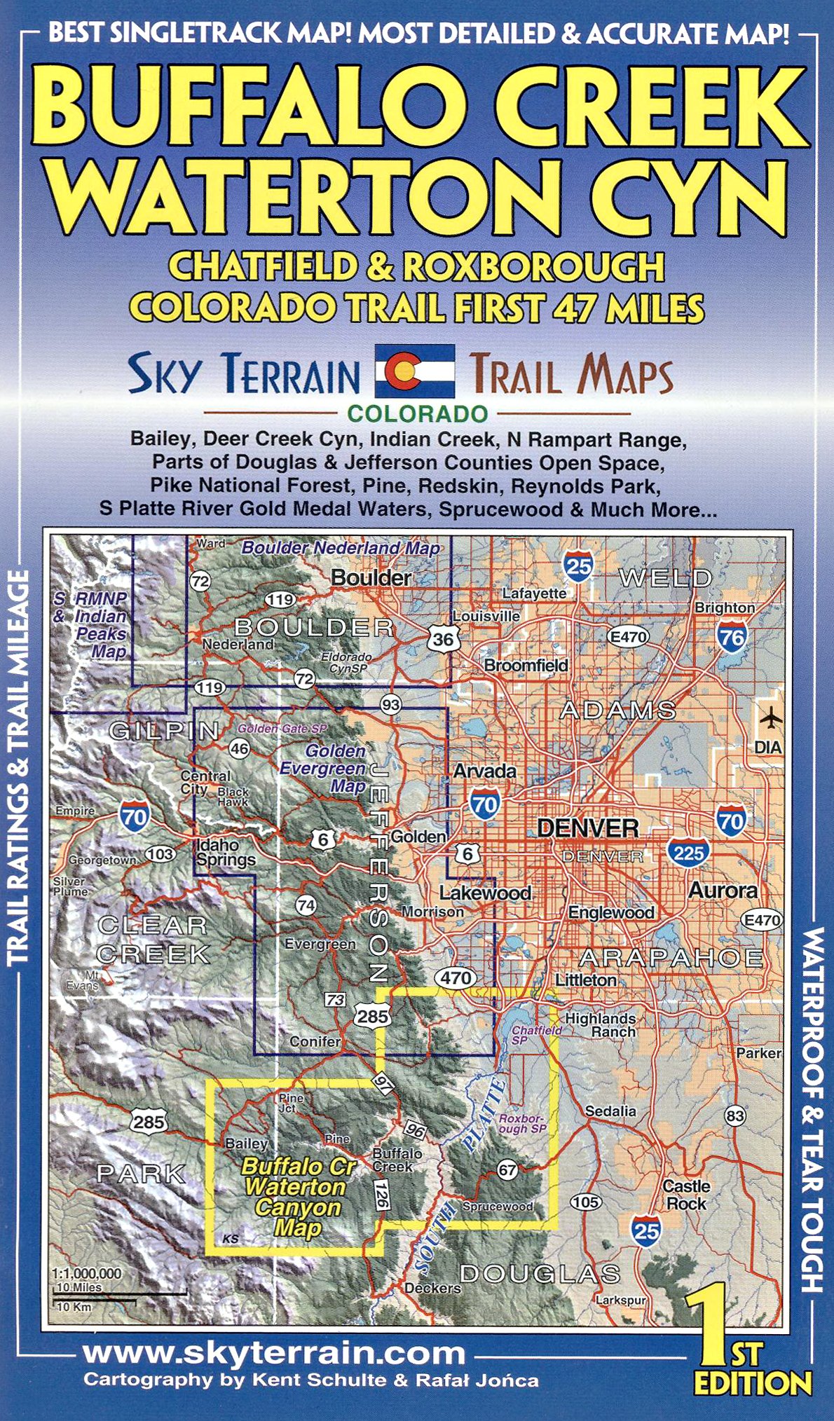
Two all new detailed topographic trail maps shows the big network of fine mountain biking trails around Buffalo Creek and the wonders of Waterton Canyon popular with fishermen. The map scale is 1:40,000 with 50ft countours, 2km UTM grid, and most detailed mapping of roads and trails. Trails and some roads are rated easy, moderate or difficult. Singletrack symbolized. Mileage shown between all trail junctions. Includes information for hiking, mountain biking, road biking, fishing, hunting, climbing, camping, horseback riding, skiing and more. This map is the most detailed, accurate and up to date map for the area. It even includes trails under construction for 2011. First 47 miles of the Colorado Trail shown. Waterproof & Tear Tough. Folds to 4 by 6.75 inches.
More Information
| Gtin | 09780982862612 |
| Age_group | ADULT |
| Condition | NEW |
| Gender | UNISEX |
| Product_category | Gl_book |
| Google_product_category | Media > Books |
| Product_type | Books > Subjects |