
Description
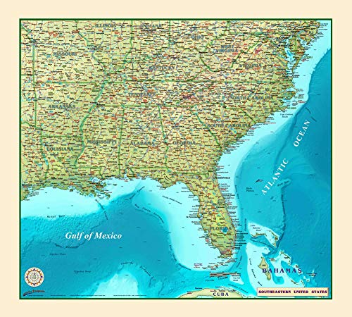
Introducing Compart Maps Southeast USA Wall Map . Beautifully illustrated with a stunningly gorgeous color palette, the detail is highly legible with borders clearly defined. This map can be used for general reference, to track current events, or as a piece of art. Specially created for decorators who will find the color scheme works beautifully with today’s design styles. With full-size, this map is a designer's delight! This Southeast USA Wall Map features: Cities (indexed) - Counties (indexed) - International Borders - Physical Terrain names - State Borders - Latitude/Longitude Lines - Points of Interest - Shaded Relief background Compart Maps ' Southeastern United States Full-Size Wall Map includes Missouri, Kentucky, West Virginia, Maryland, Virginia, District of Columbia, Delaware, Arkansas, Tennessee, North Carolina, Lousiana, Mississippi, Alabama, Georgia, South Carolina, Florida, and The Bahama at 36"×32". This full-sized wall map features dry erase lamination, a specialty laminate that allows for dry erase markers to be used on the finished print and erased as desired for locations, areas, and zones. Dry erase laminated, one-sided wall map. - Size: 36" × 32" Full-Size 36"×32" Dry Erase Laminated Includes Missouri, Kentucky, West Virginia, Maryland, Virginia, District of Columbia, Delaware, Arkansas, Tennessee, North Carolina, Lousiana, Mississippi, Alabama, Georgia, South Carolina, Florida, and The Bahama
More Information
| Gtin | 0820644000309 |
| Age_group | ADULT |
| Condition | NEW |
| Gender | UNISEX |
| Product_category | Gl_book |
| Google_product_category | Media > Books |
| Product_type | Books > Subjects |