
Description
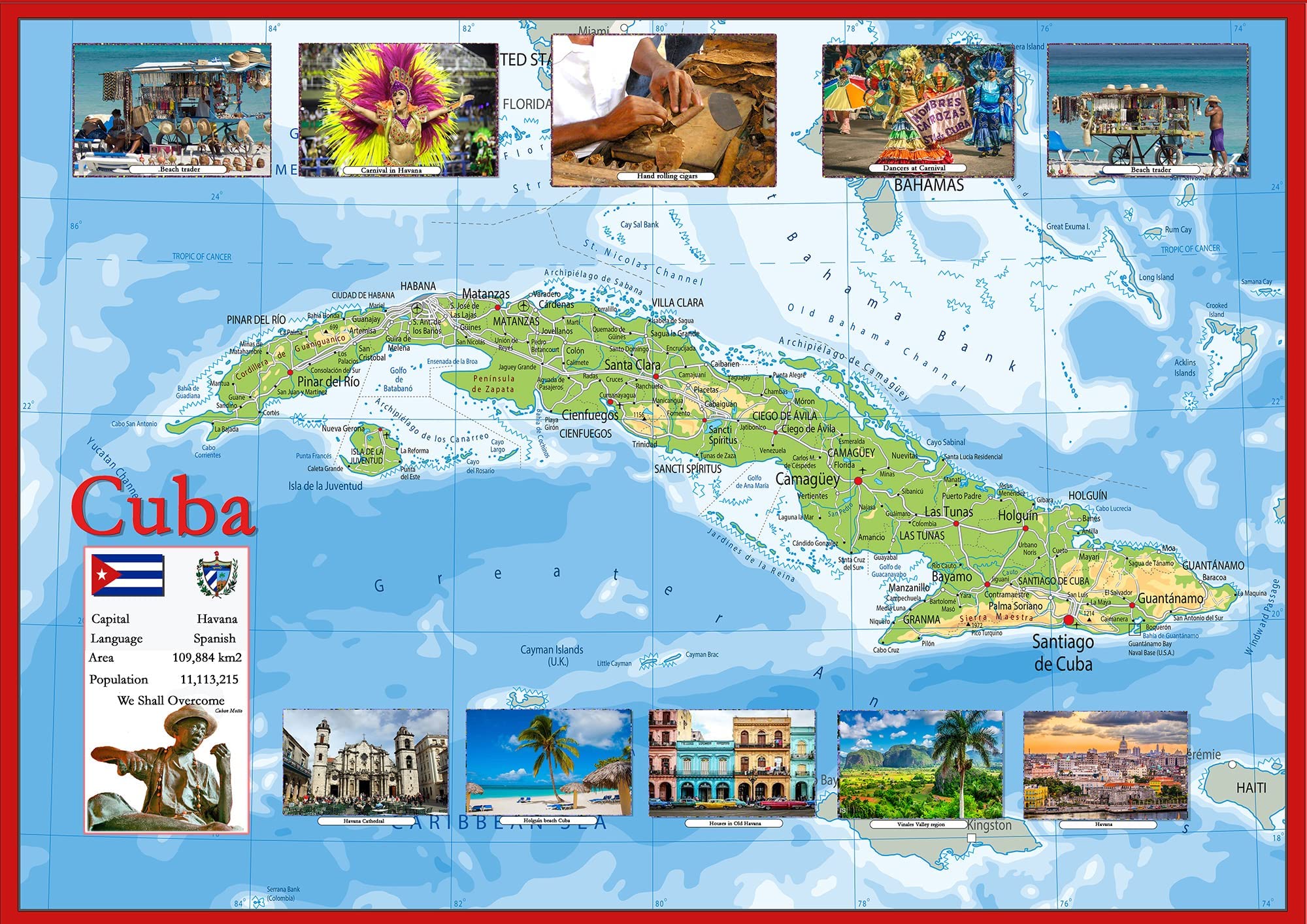
Explore the vibrant island of Cuba through this detailed and colorful pictorial map. Featuring charming illustrations and clear labeling, it highlights key cities like Havana, Santiago de Cuba, and Holguín, as well as renowned locations such as the Vinales Valley and surrounding waters of the Caribbean Sea. This map blends visual storytelling with geographic accuracy, making it an ideal reference for students, travelers, or anyone intrigued by Cuba’s rich cultural and natural landscapes. Size: 23.4 x 16.5 inches Illustrated landmarks and major cities for visual engagement Labeled bodies of water, terrain, and regional features Great for classroom use, home learning, or decorative display Printed on high-quality paper with a durable gloss laminate finish Perfect for sparking curiosity or enhancing educational spaces, this map offers a unique and informative view of Cuba. Explore the vibrant island of Cuba through this detailed and colorful pictorial map. Featuring charming illustrations and clear labeling, it highlights key cities like Havana, Santiago de Cuba, and Holguín, as well as renowned locations such as the Vinales Valley and surrounding waters of the Caribbean Sea. This map blends visual storytelling with geographic accuracy, making it an ideal reference for students, travelers, or anyone intrigued by Cuba’s rich cultural and natural landscapes.
More Information
| Color | Full Color |
| Size | 23.4 X 16.5 Inches |
| Mpn | Cuba |
| Age_group | ADULT |
| Condition | NEW |
| Gender | UNISEX |
| Product_category | Gl_office_product |
| Google_product_category | Office Supplies |
| Product_type | Office Products > Office & School Supplies > Education & Crafts > Geography Materials > Maps |