
Description
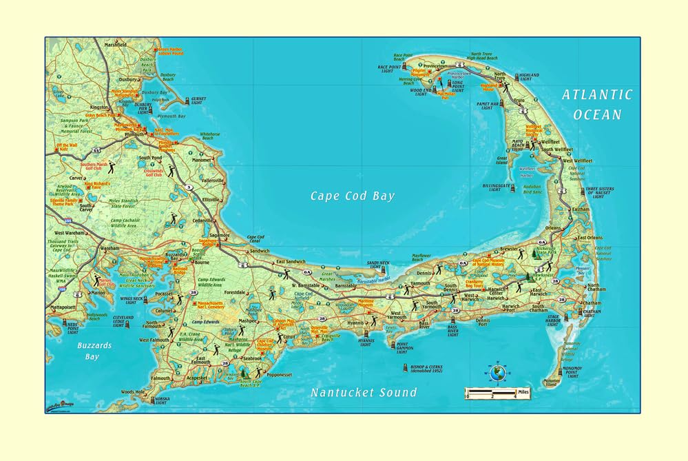
Cape Cod Small Wall Map shows the locations of many points of interest. It has a beautiful shaded depth background which gives it a bird's-eye-view feel. This map also has lighthouse locations. This Cape Cod Wall Map features Cities, Interstates/Highways, Secondary Roads, Physical Terrain, Latitude/Longitude lines, Points of Interest, State Parks, National Monuments, and National Seashores. Coverage Area: North to include Cape Cod Bay - South to include Nantucket Sound - East to include Atlantic Ocean - West to include Buzzards Bay The paper small wall map is is a convenient and useful at-a-glance reference ready for highlighters, self-adhesive sticker dots or arrows, or graphic tape. 33"×21" paper/non-laminated, one-sided wall map
More Information
| Gtin | 0820644002051 |
| Age_group | ADULT |
| Condition | NEW |
| Gender | UNISEX |
| Product_category | Gl_book |
| Google_product_category | Media > Books |
| Product_type | Books > Subjects > Reference > Atlases & Maps > Atlases & Gazetteers |