
Description
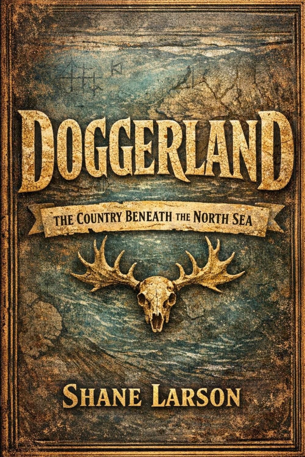
There is a country under the North Sea. Not a metaphor. Between Britain and the Netherlands, beneath an average of thirty meters of grey water, lies a real landscape — river valleys, lakes, marshes, oak and hazel woodland, hundreds of miles of coastline. For thousands of years after the last ice age, tens of thousands of people lived on it. It was not a land bridge. It was the richest habitat in northwestern Europe, and Britain was the peninsula on its edge. We know it existed because fishermen keep dredging it up. In 1931, a trawler working off the Norfolk coast hauled in a lump of peat with a barbed antler point inside it — a manufactured tool, from water dozens of miles offshore, on ground that had to have been dry. Since then, seismic data shot by the oil and gas industry to find hydrocarbons has been repurposed into something extraordinary: a map of a drowned country, detailed enough to name its rivers. The people themselves were not impoverished stragglers clinging to a margin. They were hunter-fisher-gatherers living in one of the most productive environments available to anyone in Europe — a landscape of estuaries, reedbeds, and river confluences that was almost entirely edge, and edge is where the food is. They built dugout canoes, wove nets and fish traps, made composite tools they could repair in the field, and kept dogs they sometimes buried with care. Almost everything we know about them comes from the shores on either side, because the country itself is still down there, unexcavated. Then there is how it ended. The sea rose for millennia, squeezing its people onto shrinking high ground. And around 6200 BC, a section of the Norwegian continental shelf let go in an underwater landslide and sent a tsunami across the North Sea. Whether that wave destroyed a living country or merely erased the last traces of one already gone is an argument that is still running — and this book lays out both sides rather than forcing a verdict the evidence cannot support. What you'll learn: Why "land bridge" is the most misleading phrase in British prehistory - How petroleum seismic surveys became the instrument that mapped a lost country - What Mesolithic life actually looked like — boats, nets, dogs, and real craft skill, not bare survival - What ancient DNA pulled from seabed mud can now recover without a single bone - What the Storegga Slide was, and the honest argument over what it did - Why drowned-land folklore is not a memory of Doggerland — and why the truth is stranger - Where the missing chapters of human prehistory are: on the continental shelves, underwater This book is for you if: You want lost civilizations told straight, with the evidence shown and the gaps admitted - You liked The Ends of the World , Underland , or Krakatoa - You are curious about the Ice Age, the Mesolithic, or the deep human past - You want deep-time perspective on rising seas without being preached at - You are tired of Atlantis dressed up as archaeology An entire inhabited country vanished, and the evidence still comes up in fishing nets. This is what we know, how we know it, and where the honest answer is still that nobody is sure.
More Information
| Gtin | 09798190895278 |
| Age_group | ADULT |
| Condition | NEW |
| Gender | UNISEX |
| Product_category | Gl_book |
| Google_product_category | Media > Books |
| Product_type | Books > Subjects > History > Europe > Great Britain |